Wham Ridge on Vestal Peak
Shelby and Andrew climb Wham Ridge on Vestal Peak in the Grenadier Range within the San Juans of Colorado.

While we had a few plans cancelled due to weather this summer, we hoped we would be able to get a good attempt on an alpine climb before it started to snow in the high country. We have been trying to improve our trad climbing this summer and thought that Wham Ridge on Vestal Peak would be a good goal. While the climbing is easy, it is pretty long and very remote, and a good test of putting our skills together.
| Title | Content |
|---|---|
| Date | September 18 2021 |
| Activity | Climbing |
| Location | Vestal Peak, San Juans, CO |
| Trailhead | Molas Pass |
| Distance | 23 miles round trip |
| Elevation Gain | Approximately 7000 |
| Season | Fall |
We allocated three days for this climb - One each for the hike in and out, and then one for the climb. We planned on starting early friday, but CDOT had other plans. It turned out Highway 550 out of Ouray was closed from 8:30AM-12:00PM. Bummer; we are pretty good at checking cotrip in the winter but didn't check it prior to this trip. While Ouray is somewhere we enjoy, we were missing out on daylight to begin our hike. After some exploring, we queued up around 11:30 at the base of the pass and started up just after noon. We arrived at the Molas Lake trailhead around 1:15PM.
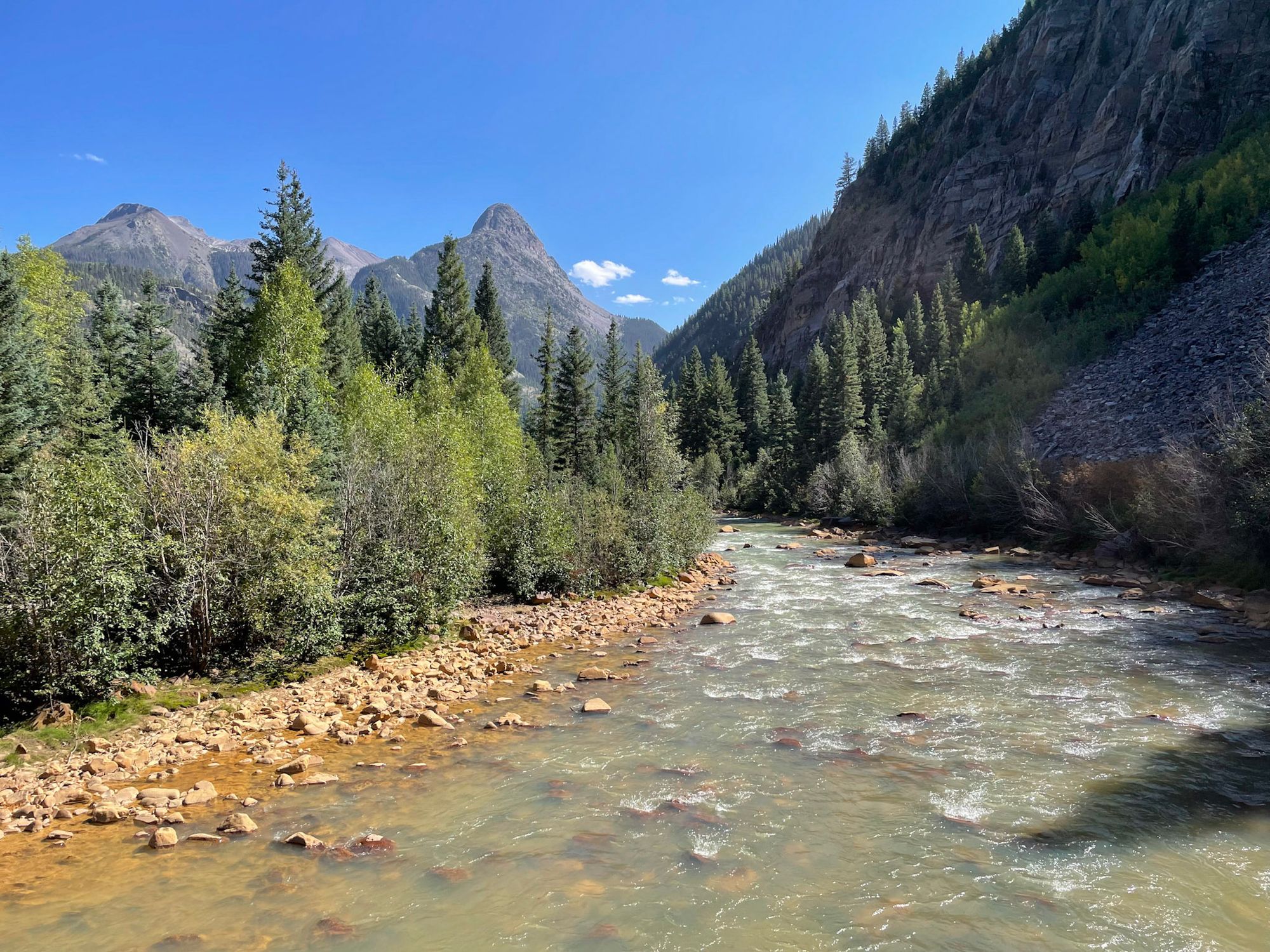
The trail starts out heading downhill to the base of the valley, where the Durango-Silverton Narrow Gauge Railroad tracks run through the valley. This descent ended up being about 1800 ft from the trailhead to the train tracks - no wonder people take to train.
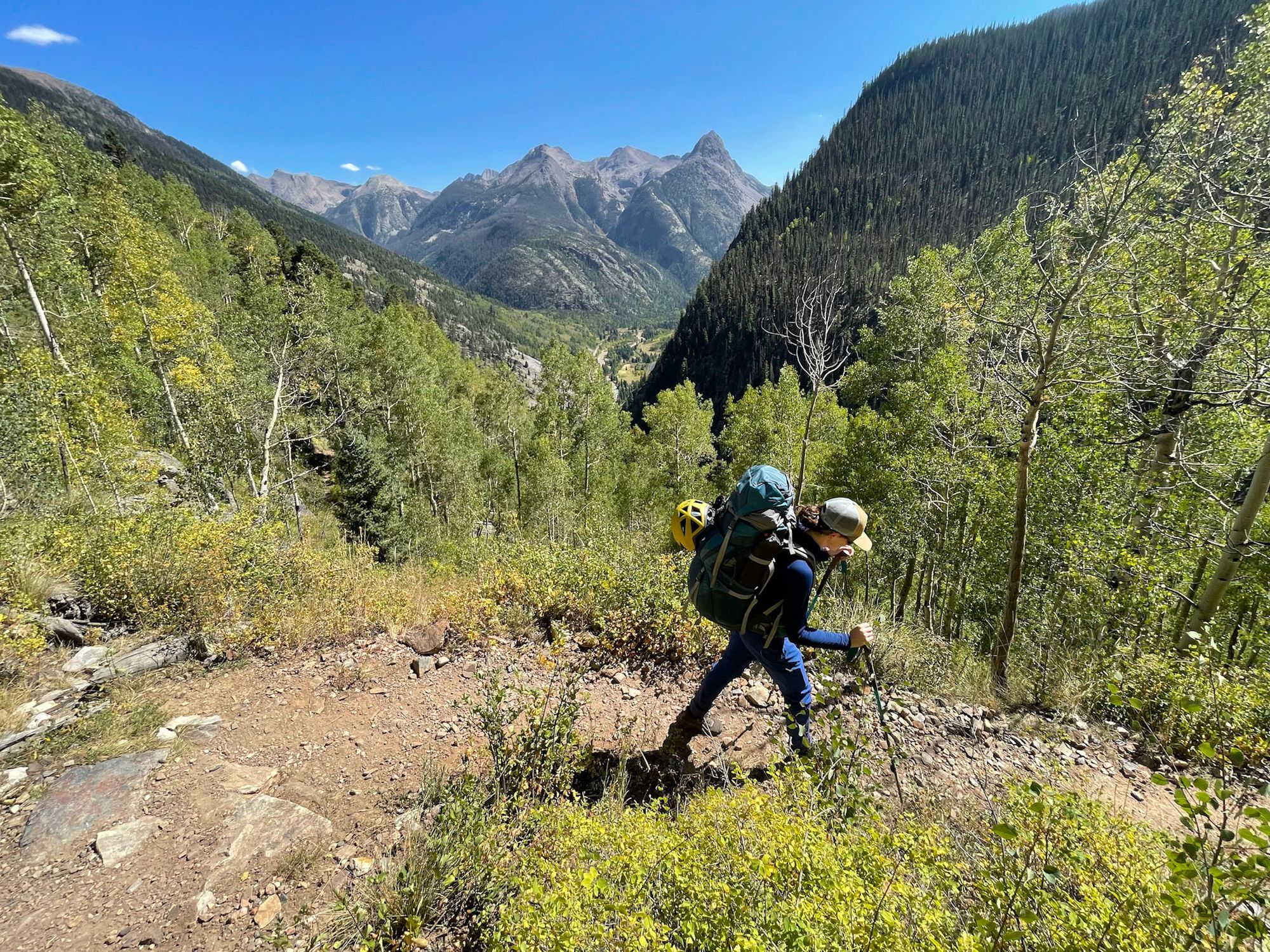
Following the Colorado Trail, the miles went quick and before long we were at the beaver ponds where the trail to Vestal Peak splits from the Colorado Trail. From here, the trail got significantly tougher; we were climbing over and under downed trees, across loose hillsides and through creeks.
We were making slow progress, and with our late start we decided to make camp a little earlier in the trial than originally planned. We were optimistic that we'd be able to move more quickly without our camping gear in the morning.
We woke up at 3:30AM. The moon was bright, and after a quick snack we started up the trail. As hoped, we were moving fast with our lighter loads and in no time it we were passing by our originally-planned campsite and up the steep hillside out of the main basin and towards the base of Vestal Peak.
We made our way to Vestal Lake to get some water before our climb. This trip we were using a steripen for water treatment, and Vestal Lake was more critter filled than we expected so we had to improvise a filter to avoid drinking anything squirming. With our bottles filled, we turned our sights to the low angle scramble up the North face of Vestal Peak.
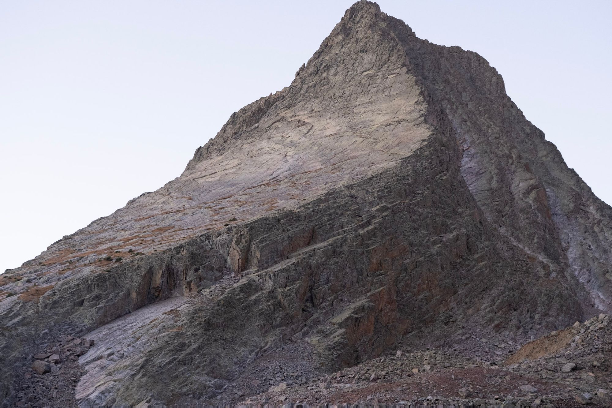
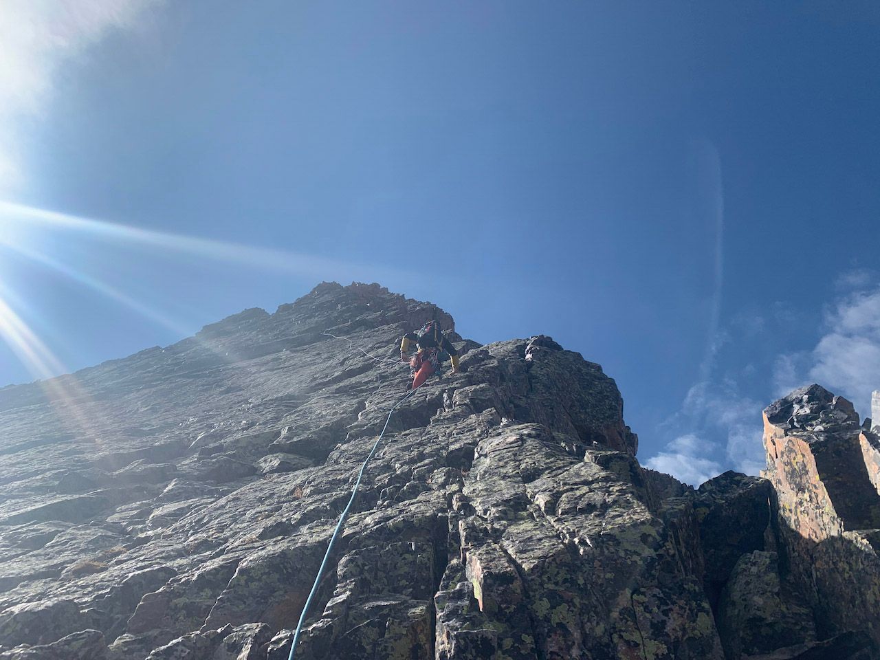
For the first 800 feet or so the incline gradually increased from walking to class 3 and eventually class 4. We climbed up the grassy ramp to the west side of the north face, and scrambled up about another hundred feet to the base of a prominent crack. At this crack we decided to transition to roped climbing.
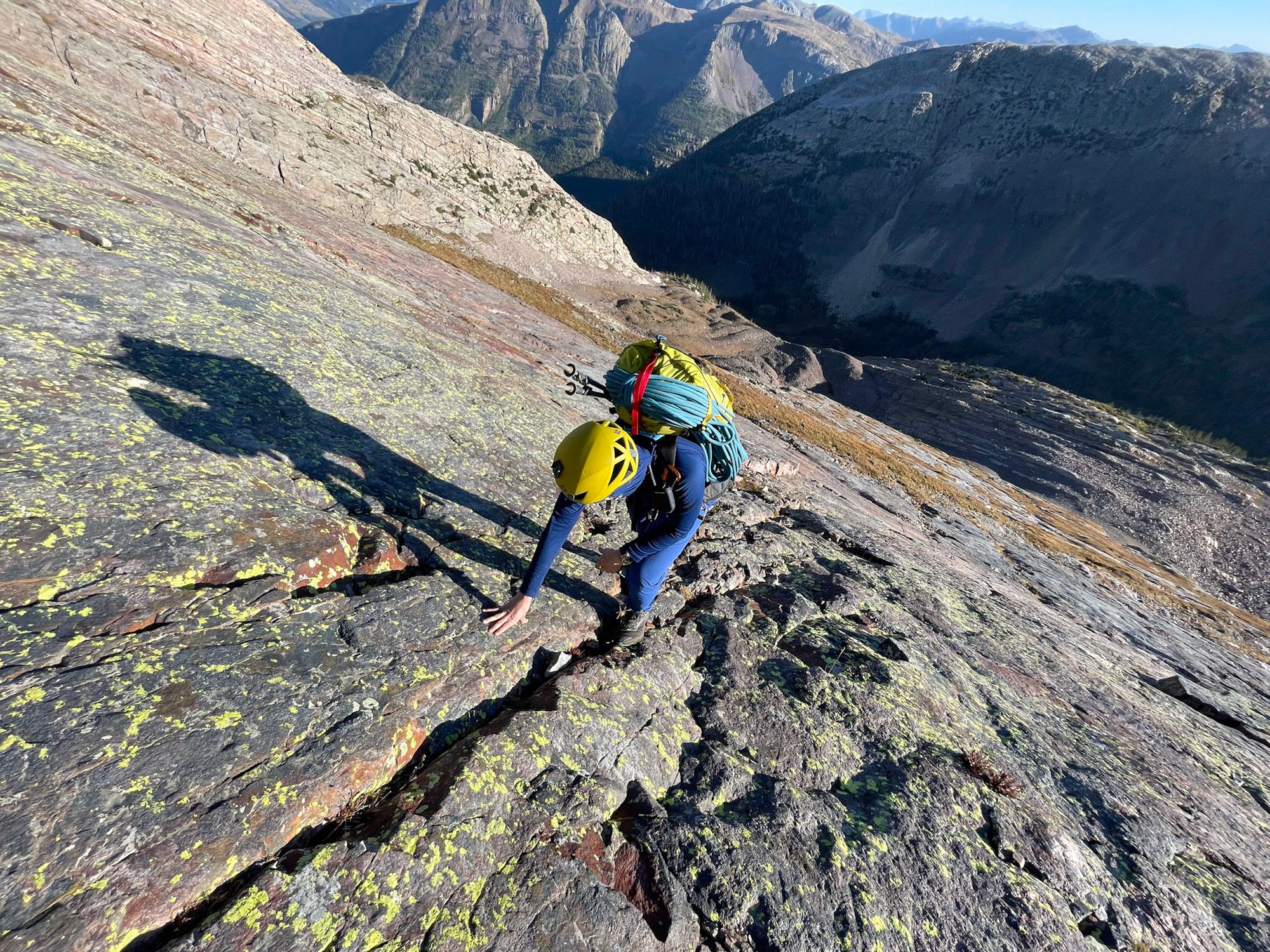
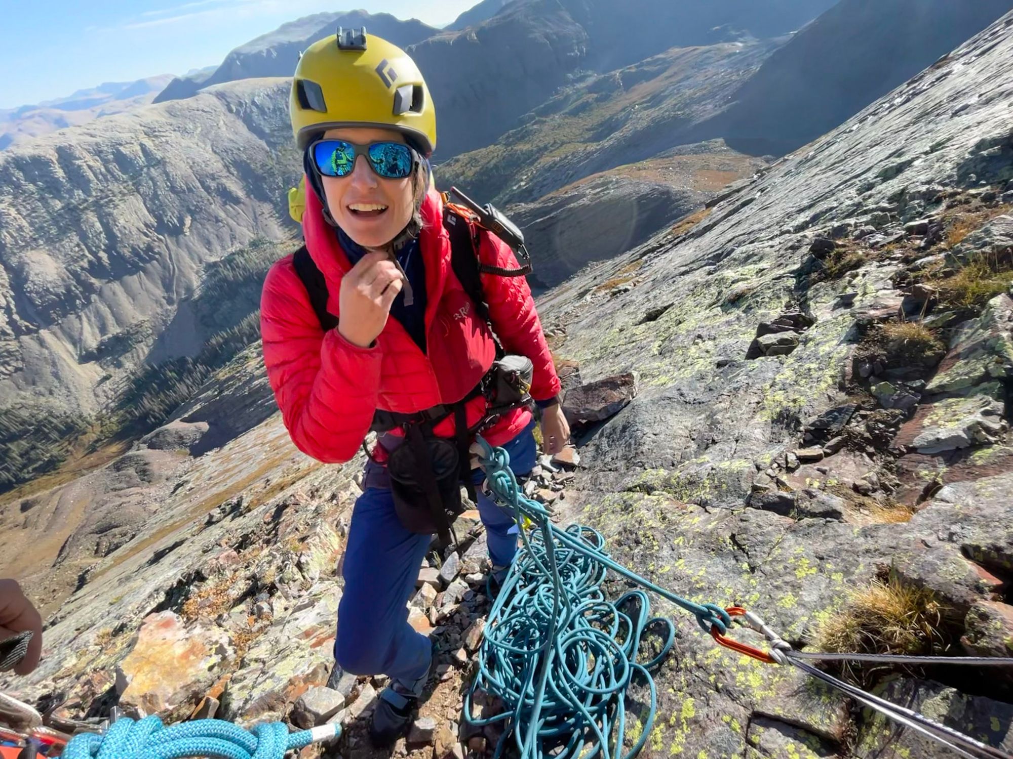
The climbing was still relatively easy, and I led the first pitch the full length of the rope. I made a belay, and shelby quickly scampered up. Shelby led the next pitch, a quick one to a comfortable belay ledge before more serious climbing began. Most climbers could probably reach this ledge without a rope, as the climbing was pretty easy and exposure low.
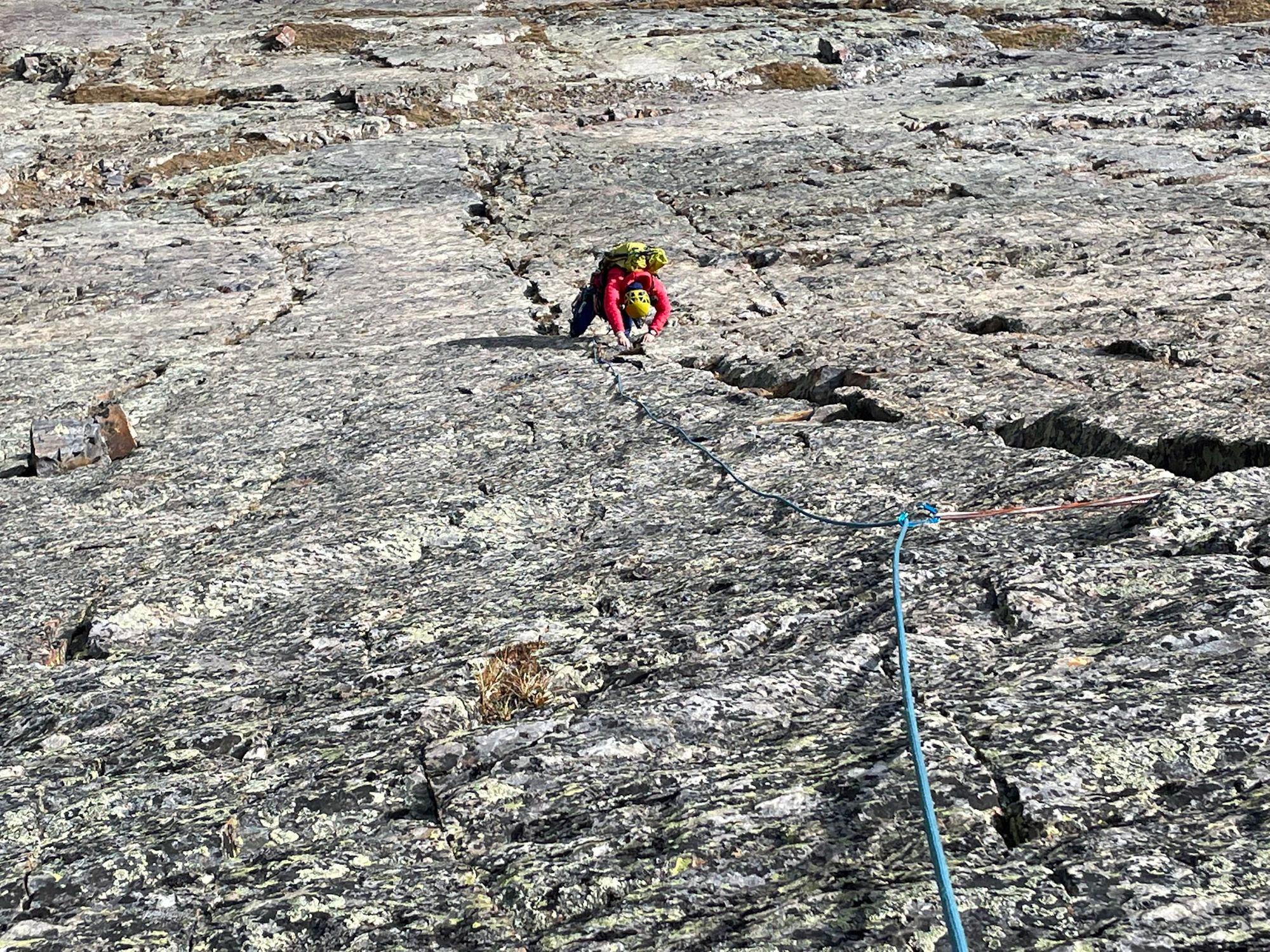
I led the next section, about half a rope of relatively easy climbing and belayed shelby up to my point. Shelby took the next pitch, and encountered the crux of the climb, a 5.4 hand crack. It was not too difficult and easy to protect, but definitely happy to have a rope. Shelby worked her way up the ridge and belayed me up soon after.
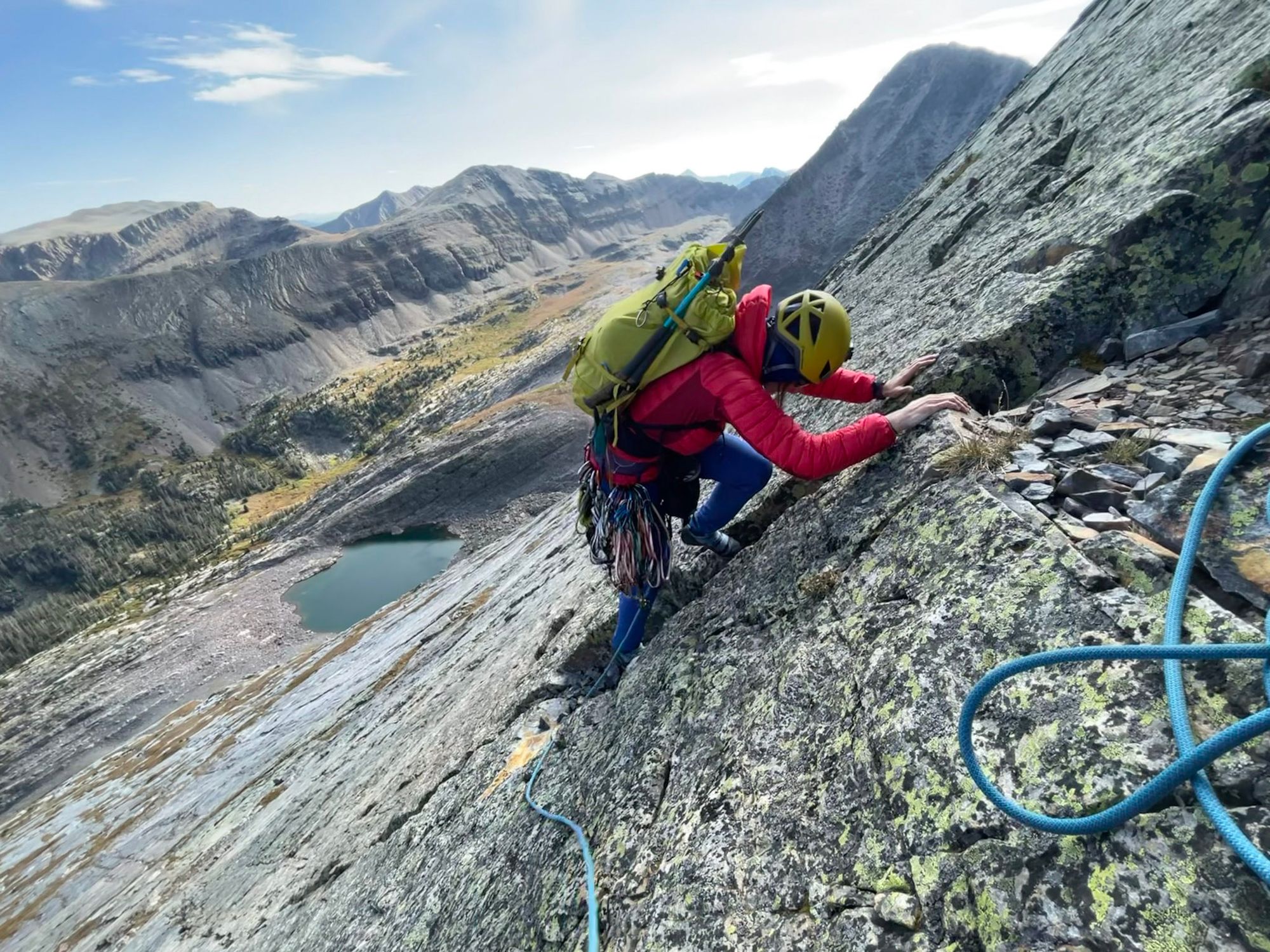
The next pitch is where the climbing became more loose and blocky; protection was a little tougher, but the climbing was easier and more like fourth-class. Shelby led another pitch of similar climbing. After this, we transitioned east to the center of the north face across a prominent ledge. We found a pretty good crack and Shelby led up the blocky face about another rope length.
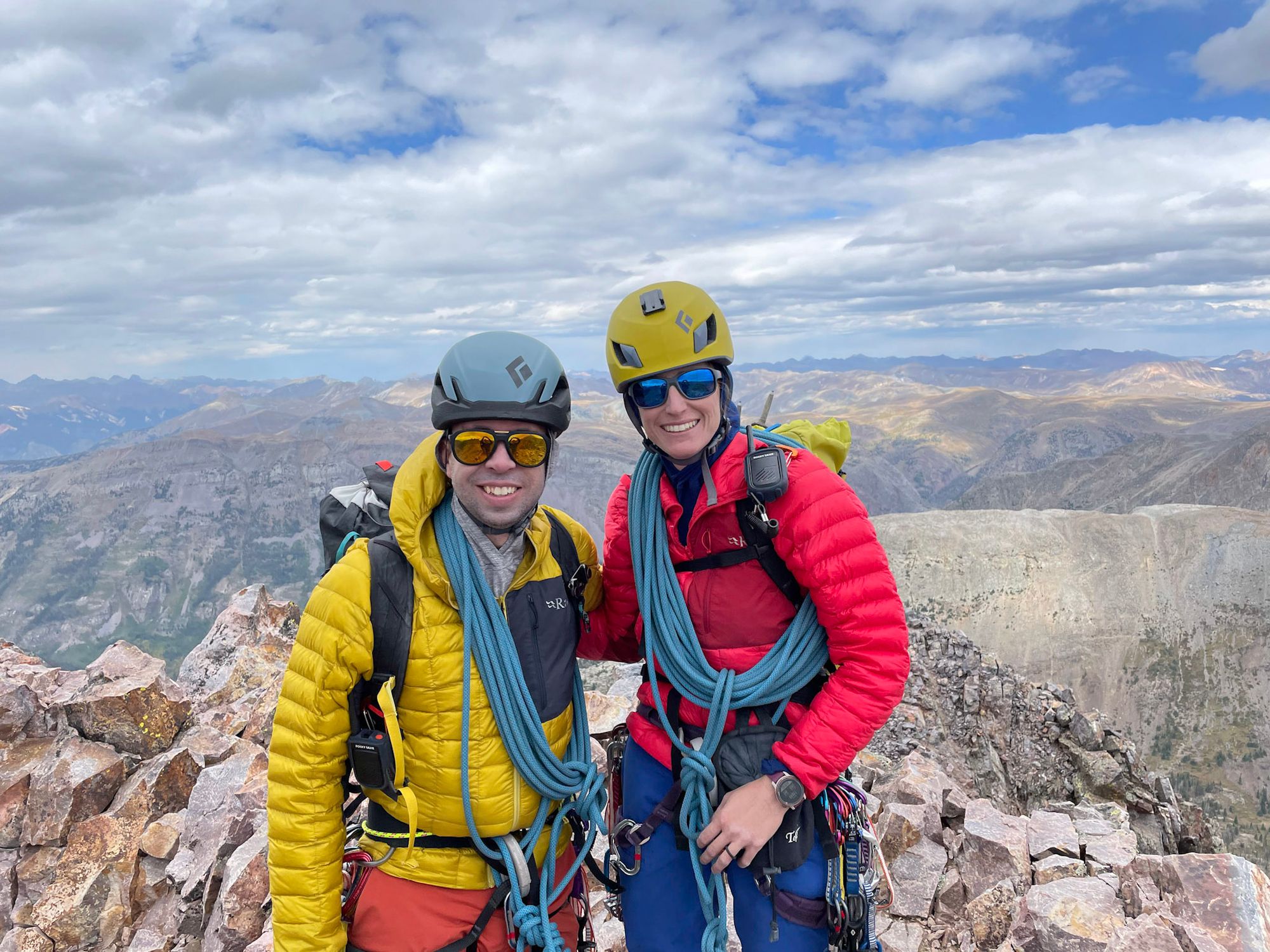
From here, we had some third class climbing to the north summit, and then traversed to the true summit. We had some snacks, enjoyed the views, and started towards the descent.
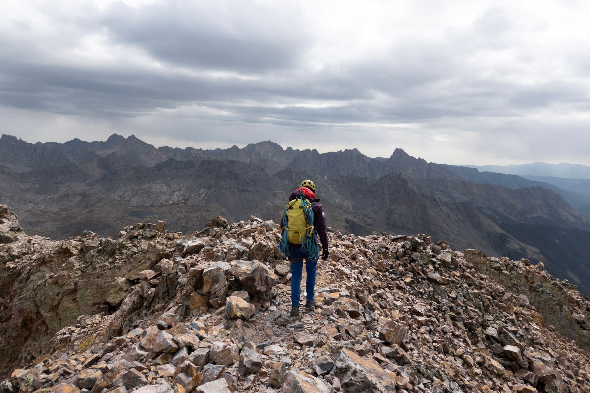
Fortunately a party coming down the day before gave us some beta for the descent. From the true summit, we started along the ridge south, and then took the ridge southeast (left). The target is a gully that is not visible from the summit, it is over this ridge that is a few hundred yards from the summit. If you take any of the gullies immediately off the summit they will probably not get you down the mountain; this further southeast facing gully is the target. There are cairns every so often and an easy path is not too hard to find. After working down about 500ft, the route transitions into one of the more south facing gullies. In this gully you go down another couple hundred feet until following cairns west around the rest of the south aspect of the mountain.
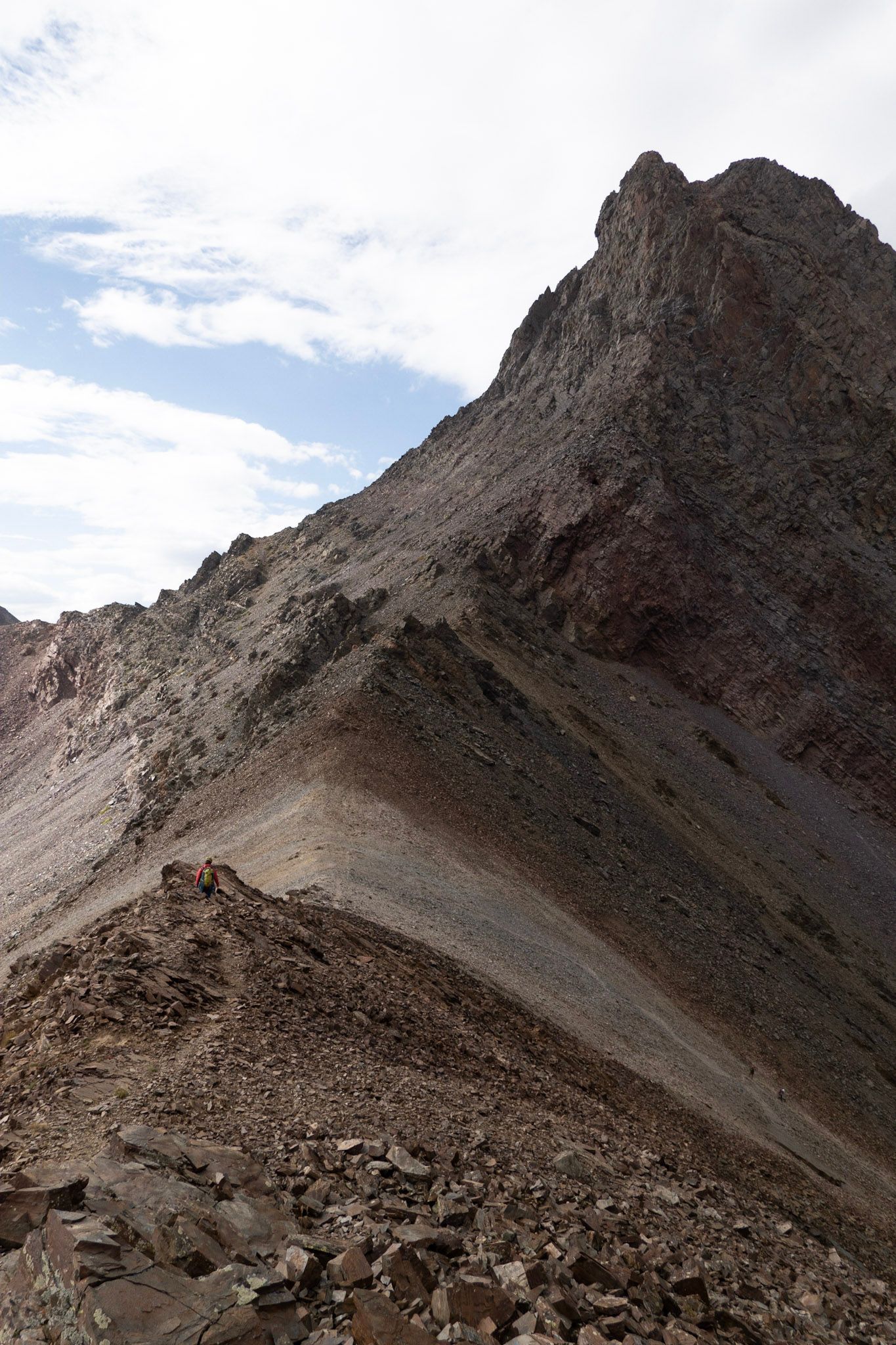
After about an hour we hit the ridge connecting Vestal and Arrow. On the center of the ridge there is a white stripe of dirt, this was the target for the descent. While it was loose and scree-covered, it didn't take too long and we were in the moraines below and heading back to where we gained the plateau that morning. With the main difficulties of the day over, we took frequent breaks and enjoyed the weather on the way back down to camp.
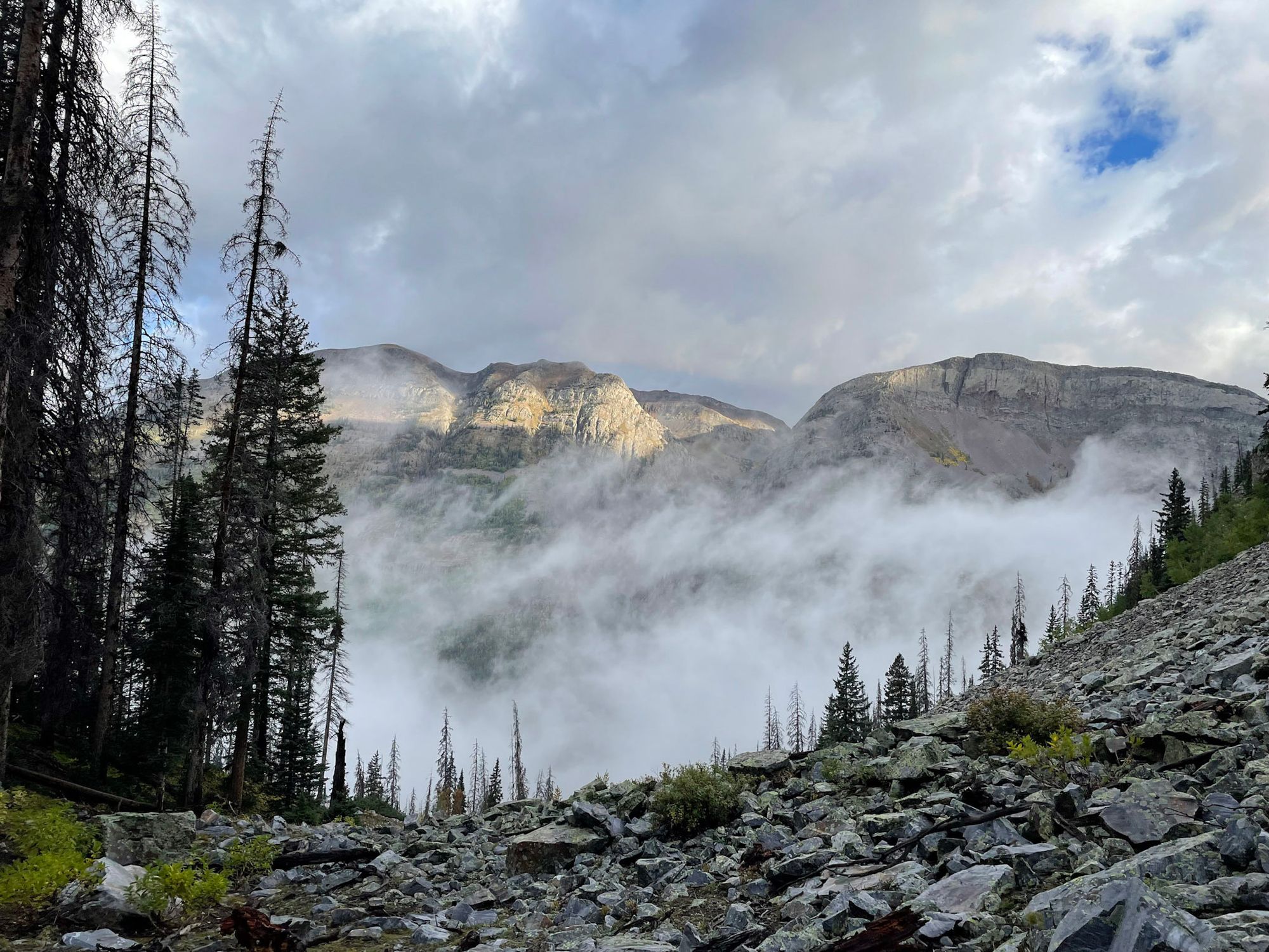
It started drizzling almost immediately after we got back to camp, but the weather didn't stop us from quickly cooking a couple of dehydrated meals and getting into the tent. It ended up raining almost the entire night and we slept later than planned, not wanting to hike out in the rain.
The next morning the clouds filled the valley, and we ate a nice breakfast before starting out. After retracing our footsteps up the 40 switchbacks to the trailhead, we reached our car around 1pm.